//


Town in Samogitia, Lithuania
Photo: user:CD, CC BY-SA 4.0 via Wikimedia Commons
Tytuvėnai is a town in the Samogitia region of Lithuania, with a population of 1805 in 2021. The main reason to visit is its monastery and associated churches.
From the travel guide. Select a place for details, a map and what is nearby.
This Bernadine monastery was mostly complete by 1633, with its courtyard added in the 1770s. The monastery has disbanded but the Church of Our Lady of the Angels (Švč Mergelės Marijos bažnyčia) is still in use. Opening hours are erratic. "Kavanska" church is also within the grounds.
Cosy friendly small place in town centre.
It's seen better days.
Comfy upscale place by the lake 2 km southeast of town.
Tytuvėnai is 110 km north of Kaunas: follow A1 then turn off onto Highway 146 past Raseiniai. From Šiauliai follow Highway 2105 south for 45 km.
Read in the guideThe town is walkable, but you need wheels for the lakes and outlying sights.
Read in the guideChoose an airport to see hotels, stations, taxi ranks and car rental desks around it.
Kaunas · International · KUN
Loading places around the airport…
Articles and travel topics about Tytuvėnai and Lithuania.
 Travel tips
The Polish–Lithuanian Commonwealth was a union of Poland and Lithuania which controlled much of Eastern Central Europe from 1569 to 1795.
Wikivoyage
 Itineraries
Via Baltica is a road leading through the Baltic States and Poland in Northern Europe.
Wikivoyage
 Travel tips
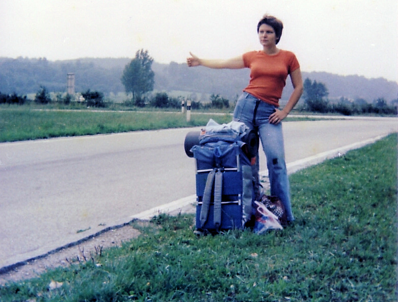
Hitchhiking is one of the cheapest ways of traveling. By tradition, hitchhiking is defined as soliciting a ride by standing at the edge of a road, facing traffic, with one's thumb extended/upwards.
Wikivoyage
 Itineraries
Struve Geodetic Arc is a UNESCO World Heritage Site in Norway, Sweden, Finland, Russia, Estonia, Latvia, Lithuania, Belarus, Moldova and Ukraine.
Wikivoyage
Every section of the guide. Open one to read it in full.