
Struve Geodetic Arc
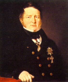
Photo: via Wikimedia Commons, Public domain
Struve Geodetic Arc is a UNESCO World Heritage Site in Norway, Sweden, Finland, Russia, Estonia, Latvia, Lithuania, Belarus, Moldova and Ukraine.
UnderstandThe Struve Arc is a chain of survey triangulations stretching from Hammerfest in Norway to the Black Sea, through ten countries and over 2,820 km.
PrepareThe most practical way to visit all the points on this itinerary is by car.
Get inThe points of the arc run over 2,820 km. from above the Arctic Circle to the Black Sea, making it one of the longest inscription on the World Heritage List .
GoThe northern end of the arc is about as far north as you can get in Europe. To get here, you can follow the E6 through Sweden and Norway to Skaidi.
Stay safeConsult the individual country articles for safety precautions.
Go nextStretching along most of Europe from north to south, there are several places worth visiting near the route of the arc.
Sources and licences
- Guide text adapted from the Wikivoyage article "Struve Geodetic Arc" by its contributors, available under CC BY-SA 4.0. Read on Wikivoyage · Contributors · CC BY-SA 4.0
- Photo: Struve.jpg, Public domain via Wikimedia Commons