
Pennine Way
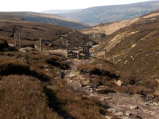
Photo: John Fielding, CC BY-SA 2.0 via Wikimedia Commons
The Pennine Way is a designated UK National Trail in the north of England, coursing for 268 mi from Edale in Derbyshire to Kirk Yetholm in the Scottish Borders. The Pennines are the mountain ridge forming the backbone of the country, and most of the route is across Yorkshire, County Durham, Cumbria and Northumberland.
UnderstandThe path was the idea of the journalist and rambler Tom Stephenson (1893-1987), inspired by long-distance trails in the United States, particularly the Appalachian Trail.
Prepare" While no specialist climbing skills are needed, navigation skills are essential as winter often brings low visibility, snow, and flooding.
Get inThere are multiple access points, described below, many though by no means all with public transport. The trail officially starts at The Nags Head pub in Edale, on the railway between Sheffield and Manchester.
WalkThe trail begins at Edale, which has hourly trains between Manchester Piccadilly and Sheffield, and the official start of the trail is The Nag's Head half a mile north of the railway station.
Stay safeMany parts of the Pennine Way are remote, exposed and prone to the fickle weather. You should be familiar with moorland navigation and be suitably experienced and equipped for mountain walking.
Sources and licences
- Guide text adapted from the Wikivoyage article "Pennine Way" by its contributors, available under CC BY-SA 4.0. Read on Wikivoyage · Contributors · CC BY-SA 4.0
- Photo: John Fielding, CC BY-SA 2.0 via Wikimedia Commons