
Lycian Way
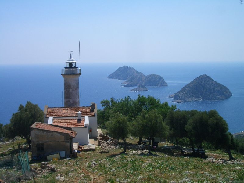
Photo: Flickr user: I was in Turkey https://www.flickr.com/photos/iwasinturkey/, CC BY-SA 2.0 via Wikimedia Commons
The Lycian Way (Turkish: Likya Yolu) is a 540-km, waymarked hiking trail in southwestern Turkey, connecting Fethiye in the west with the vicinity of Antalya in the east (more precisely the village and climbing centre of Geyikbayırı up on the mountains) along the Lycian coast.
The Lycian Way is a great way to get a sense of the true Turkish Mediterranean, away from crowded beaches, expensive resorts, and non-native palm trees.
UnderstandThe route was researched by Kate Clow, a British expat living in Turkey, with the help of a few volunteers. It was waymarked with the support of Garanti Bank and the permission of the Turkish Ministry of Culture in 1999.
PrepareThere are no fees or permits required for hiking or camping along the Lycian Way. Most of the trail has a satisfactory GSM signal – the exceptions are around the lighthouse and in the bottom of canyons.
Get inFethiye and Antalya are well-connected to most cities in the country by inter-city buses. The nearest international airports are at Dalaman for the western trailhead and at Antalya for the eastern.
WalkWhile the official start of Lycian Way is in Ovacık, the northern suburb of Ölüdeniz, you can hike it all the way from Fethiye (about 15 km away from Ovacık, and the hub of the region), thanks to the officially separate…
Stay safeYou'll be mostly fine and safe by following the marks and keeping on trail, but there are certain things that one should be wary of.
Go next
Sources and licences
- Guide text adapted from the Wikivoyage article "Lycian Way" by its contributors, available under CC BY-SA 4.0. Read on Wikivoyage · Contributors · CC BY-SA 4.0
- Photo: Flickr user: I was in Turkey https://www.flickr.com/photos/iwasinturkey/, CC BY-SA 2.0 via Wikimedia Commons