//

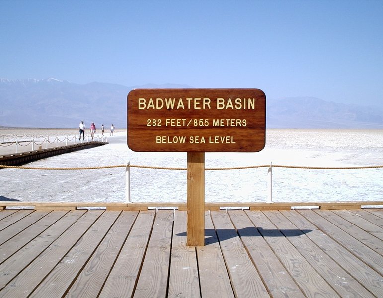
Photo: Ivan, CC BY-SA 3.0 via Wikimedia Commons
At 282 feet below sea level, the lowest point in North America is a surreal landscape of vast salt flats. A boardwalk and signs provide info on the local environment, and a trail leads out onto the salt flats. As it is a dry lake bed and a low point, a temporary lake may form after heavy rainstorms.
Badwater Basin is an endorheic basin in Death Valley National Park, Death Valley, Inyo County, California, noted as the lowest point in North America and the United States, with a depth of 282 ft (86 m) below sea level.
© OpenStreetMap contributors
Only for the most experienced and committed, the 135 mi course from Badwater (elevation -282 ft) to the Mt. Whitney trailhead (elevation 8360 ft) is billed as the world's toughest race. Adding to the difficulty, the race is held annually during July, the hottest month of the year. The field is invitation-only and limited in size, but annually about 100 start, and 1-2 days later, after crossing two mountain ranges, 60-80% percent of those who start arrive battered, burned, and exhausted at the finish line.
Travel south from Furnace Creek. Natural Bridge is just east of the main road via a dirt road. This natural bridge in a narrow canyon was created when erosion managed to undercut a section of the stream bed and eventually create a bridge well above the bottom of the canyon.
A bizarre landscape consisting of a vast field of salt crystals. Please admire these carefully! A slight touch can break the crystals, which often take years to re-form.
Spectacular view from an overlook just a mile or two away from Badwater, but 4,000 ft taller. The road to Dante's View is a bit long, but the view is worth it. If you are towing a trailer, a parking lot is provided for you to leave your trailer behind before ascending the most difficult part of the road to Dante's View.
The rocks within this section of the park have been stained myriad colors by minerals within, creating a view that resembles an artist's palette. It is possible to get close up to them, and is generally not too hard if you have prior hiking experience.
Because it is not marked from the road, and not well marked on the map, a hike through this canyon offers solitude even beyond that of what is a very quiet park to begin with. The canyon isn't much to look at for the first 1/2 mile (0.8 km) of the hike from the parking area, but beyond that, there is much to explore.