//

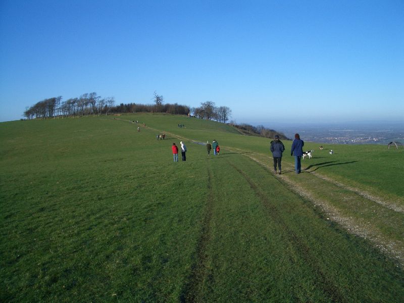
Photo: Jamie Kitson at English Wikipedia, CC BY-SA 3.0 via Wikimedia Commons
Climb to the top. The ring used to refer to the circular prehistoric earthwork dating from 800 - 600 BC, but now has come to mean the crown of beech trees planted in 1760 by Charles Goring. These trees were decimated by the 1987 storm but have since been replanted. On a clear day you can see the North Downs, the sea and, if it is very clear, the Isle of Wight.
Chanctonbury Ring is a prehistoric hill fort atop Chanctonbury Hill on the South Downs, on the border of the civil parishes of Washington and Wiston in the English county of West Sussex. A ridgeway, now part of the South Downs Way, runs along the hill. It forms part of an ensemble of associated historical features created over a span of more than 2,000 years, including round barrows dating from the Bronze Age to the Saxon periods and dykes dating from the Iron Age and Roman periods.
© OpenStreetMap contributors
A large house built by Sir Robert Shirley in the 1570s to replace an earlier medieval manor house. The house was much reduced in size by Sir Charles Goring in the 1740s and was remodelled again in the 1840s. The house is not open to the public and it is mainly used for Wilton Park Conferences and other meetings. It is also very popular for wedding receptions
An ongoing archaeological experiment to recreate an iron age farming settlement and an adjacent Roman villa.