//

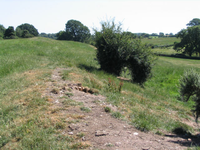
Photo: Peter Craine, CC BY-SA 2.0 via Wikimedia Commons
40-mile (64-km) earthwork running through the northern Welsh Marches from Basingwerk Abbey on the River Dee estuary, passing to the east of Oswestry and on to Maesbury in Shropshire, England. It runs generally parallel to Offa's Dyke.
Wat's Dyke is a 40-mile (64 km) linear earthwork running through the northern Welsh Marches from Basingwerk Abbey on the River Dee estuary, passing east of Oswestry and on to Maesbury in Shropshire, England. It runs generally parallel to Offa's Dyke, sometimes within a few yards but never more than three miles (5 km) away. It now appears insignificant and is visible in some places as a raised hedgerow and in others no more than a cropmark. The ditch has long since been filled in and the bank ploughed away, but originally it was a considerable construction, considered to be strategically more sophisticated than Offa's Dyke. The date of construction is disputed, ranging from sub-Roman to the early ninth century.
© OpenStreetMap contributors
A free exhibition about Offa's Dyke. You can also buy light refreshments (Tea, Coffee, Cake)