//


Region of British Columbia, Canada
Photo: NASA Goddard Space Flight Center from Greenbelt, MD, USA, CC BY 2.0 via Wikimedia Commons
The Lower Mainland is in British Columbia, Canada. The official tourist information site calls the area "Vancouver, Coast and Mountains".
A beautiful, vibrant city with diverse neighbourhoods, a very multi-cultural and cosmopolitan city — and the political core of the Lower Mainland and economic core of the province.
A series of towns north of the Fraser River and east of the Pitt River, all fairly urban and defined by their relationship to Vancouver. This region includes Burnaby and New Westminster; the Tri-Cities of Coquitlam, Port Coquitlam, Port Moody ("PoCoMo"); and Anmore and Belcarra villages.
The area between the Fraser River and the US border, where much of the Lower Mainland's population growth and suburban sprawl takes place. It includes the towns of Surrey, Richmond, Delta, and White Rock.
Where dense urban meets dramatic tall mountains. The mountains provide attractions like Grouse Mountain. At the west of the North Shore is Horseshoe Bay, ferry terminal to the Sunshine Coast.
The Fraser River, which gives the valley its name, is the world's greatest salmon producing river, and a focus for the region's economy, transportation and culture. The valley also has lush fertile farmland, which contributes a large portion of the local produce. The towns of Pitt Meadows, Maple Ridge, and Langley are transforming from agricultural to suburb. Abbotsford, Mission, Chilliwack, and Hope remain closer to their agricultural roots, but are also transforming.
The region stretches from the North Shore, up the east side of Howe Sound to Squamish, the gateway to BC's magnificent alpine country of forests, lakes, and year round world class outdoor activities. The Sea-to-Sky Highway (Highway 99) clings to the mountainsides, letting you drive from Vancouver to Whistler, one of North America's top ski resorts, in two hours. Further in is Pemberton. The area is rich with archaeological sites and historical lore of the Salish First Nations.
North-west of Vancouver, a 40-minute ferry ride from Horseshoe Bay, the region is named for its 2,400 hours of annual sunshine. It is a 180-km (110-mi) stretch of rainforest, seashore and mountains. This is the secret destination of many people, where the island life is found on the mainland. Here is a slower pace of life, where those who appreciate the beauty of outstanding marine parks and marshland bird sanctuaries, old growth forest and alpine peaks will find this the perfect destination.
By car
To cross this international border, you need an international travel document: a passport, a NEXUS card (see below), a US Passport Card, or certain US and Canadian "Enhanced ID" Drivers Licences.
By bus
The Lower Mainland, especially Vancouver is well served by bus service. Most bus routes terminate in Vancouver at Pacific Central Station (see "By train" for location).
By public transit
No public transit crosses the border with Washington State in the United States, though it is possible to travel solely by public transit, as buses terminate within blocks of the Sumas-Huntingdon…
By train
Taking the train to the Lower Mainland is unlikely to be the cheapest option, but it is a scenic one. All trains, except the Rocky Mountaineer terminate at:
By boat
By bus
Some parts of the Lower Mainland cannot be reached by public transit alone. In some cases, inter-city buses traveling only within the Lower Mainland are an option.
By public transit
Within Vancouver and many of its suburbs, the TransLink public transit system can get you to most places.
By car
The most convenient means of getting around the region is by car. Car rentals are readily available throughout the region. Major highways in the Lower Mainland:
By boat
Some coastal parts of the Lower Mainland (Sunshine Coast and Bowen Island) can only be accessed by boat. BC Ferries provides ferry services to these areas and visitors can walk on or take their car.
Choose an airport to see hotels, stations, taxi ranks and car rental desks around it.
Vancouver · International · YVR
Loading places around the airport…
a major regional town with a commercial airport, and a hub of agriculture
gateway to British Columbia's interior and the eastern end of the Fraser Valley
home to a Catholic Mission that can be toured

a small town that never grew up, it has a nice riverfront promenade and beautiful old neighbourhoods

playground for the outdoor-minded: miles of hiking trails, mountain biking, skiing, kayaking

home to a large Chinese immigrant population and Vancouver International Airport
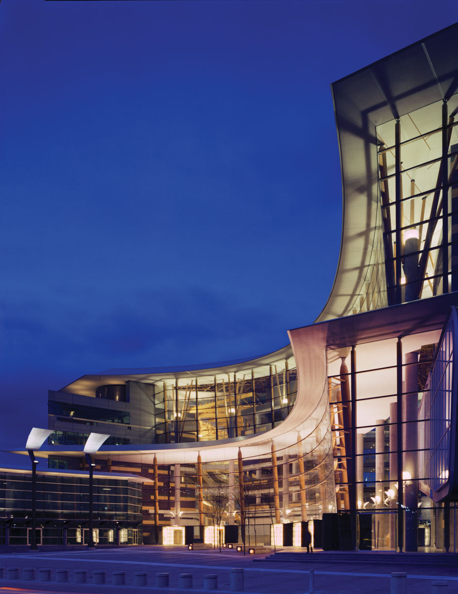
the second biggest city in British Columbia, after Vancouver, with a large South Asian community
a city of steel and glass condominiums and outstanding natural beauty, frequently ranked as one of the most livable cities in the world

the biggest ski resort in North America, but plenty to see and do year-round. Summer: mountain biking; extensive valley trail system, hike, swim. Peak to peak cable car gondola open year round

a small island at the entrance to Howe Sound, that draws tourists to wander the shops and explore the parks and natural areas

a rugged wonderland set amid the Coast Mountains
Articles and travel topics about Lower Mainland and Canada.
 Travel tips
Discover how to use AI to find cheap flights. Learn prompt strategies, smart fare engines, open-jaw routings, and error-fare booking techniques.
6 min read

 Itineraries
The Yellowhead Highway, part of the Trans-Canada Highway, is in western Canada (the Prairies and British Columbia).
Wikivoyage
 Itineraries
The Trans Canada Trail is the world's longest network of recreational trails that are available for walking/hiking, cycling, paddling, horseback riding, cross-country skiing and snowmobiling.
Wikivoyage
 Itineraries
The Coast-Vancouver Island Circle Tour, also known as the Coast Circle Tour, is a popular way to see visit some areas of southwestern British Columbia that you might otherwise not visit.
Wikivoyage
Every section of the guide. Open one to read it in full.