//

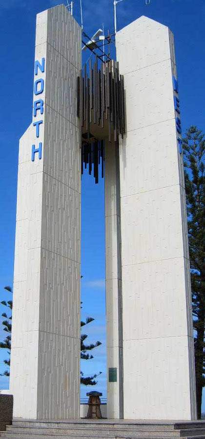
Photo: Eertman at Dutch Wikipedia, Public domain via Wikimedia Commons
Most prominent headland of the Gold Coast and the point where the New South Wales / Queensland border meets the sea. It features a lighthouse, parklands and a barbeque areas. Excellent views in all directions, including far out to sea where whales and dolphins are often spotted. The whale migration occurs in the winter months, and as the numbers increase they become increasingly visible from the shore. Surfers can also be seen riding the waves off Duranbah Beach and Snapper Rocks. Many Australian and world champion surfriders grew up in these waves. This isn't the point that Cook named Point Danger", that is the point to the south near the small island, now called Fingal Head. The error was made long ago, and the names are now too established to change.
Point Danger is a headland, located at Coolangatta on the southern end of the Gold Coast on the east coast of Australia. Separated by Snapper Rocks and Rainbow Bay to the west, with Duranbah Beach and the Tweed River mouth to the south, present-day Point Danger has also indicated the border between New South Wales and Queensland, Australia, since 1863.
© OpenStreetMap contributors
Fingal is just across the Tweed River from Tweed Heads, but you must travel south on the Pacific Highway past Sextons Hill and after the motorway crosses the river take the left exit and follow the signs. There are many kilometres of isolated and beautiful beaches to enjoy. It features as its centrepoint, Fingal Head, a volcanic rock headland originally named Point Danger by James Cook in 1770. Subsequently the headland north of the tweed River Mouth was incorrectly named Point Danger, so if you have a fetish for Cook's place names on the East Coast of Australia, this is the Point Danger you must visit. The name Fingal was chosen because of the hexagonal columns of volcanic rock. These used to be a lava finger from the shield volcano, the plug of which is Mount Warning, also named by Cook. Similar rock formations exist in Northern Ireland at Fingal, thus the name. A prominent rock formation off the point is accessed by a small surf affected causeway, and this is named Giants Causeway, also with Northern Irish connections. The surf beach on the northern side is patrolled in summer holidays and weekends. Foreign visitors should remember that inexperience in the surf can lead to trouble, so even if there are others body surfing, it is not a sign that the conditions are benign. In other words, stick to the patrolled beaches. There is a very loyal board surfer fraternity usually finding a wave on the south side of the headland. The camping ground at the main beach offers demountables, van and tent sites. The nearest pub is the Chinderah, on the river on the western side of the highway, once the ferry crossing point for all coastal road traffic. The island off the coast is Cook Island, as it was first mentioned, but not named, by Cook. Dive boats use this for charter dives from Tweed Heads, although you might also make an arranged pick up from the small river marina you pass as you enter Fingal. Camping, or overnight staying is not permitted in the Tweed Shire and this is actively enforced. Also nude bathing is prohibited, and police cars do patrol the beaches, so watch out. There is community concern about undesirable types hanging about, rather than concerns about nudity.
An educational park where tropical fruit is grown for experiments, viewing and tasting. Home of the Big Avocado.